Urban and regional planners
Planning teams protecting habitats through land use decisions, development review, and coordination across municipal boundaries.


Planning Connected Habitats for Biodiversity and Climate Resilience
ISBN 978-1-991367-20-4 · Global Climate Solutions · First EditionA city can add green space while roads, fences, and development continue to interrupt the routes wildlife depends on. How can planners tell which gaps matter and where an intervention will help?
Written for planners, landscape architects, ecologists, and infrastructure managers, Urban Ecological Networks shows how to combine land cover, field observations, and models to distinguish a link on a map from a route species can use. It explains how to prioritize protection or restoration when evidence is incomplete.
Robert C. Brears follows those decisions into street design, waterways, parks, buildings, and development approvals. He examines how agencies and landowners can coordinate work, share responsibility for stewardship, and budget for maintenance after construction ends.
Readers will learn to set measurable objectives, choose indicators for habitat condition and species movement, and revise interventions as monitoring reveals what works. The book also considers how heat exposure, refuges, and alternative routes affect a network’s ability to function as conditions change.
Distinguish physical habitat links from the routes and resources that particular species can use.
Combine land cover, species observations, field checks, and connectivity models to identify gaps and prioritize links.
Use planning and infrastructure decisions to protect habitat patches and improve movement through streets, waterways, and built areas.
Assign stewardship, investment, and maintenance responsibilities across agencies, landowners, and communities.
Select indicators for habitat condition, movement, and public access, then use monitoring to revise interventions.
Use climate exposure, refuge availability, and alternative routes to assess whether a network can function as conditions change.
Introduction
Chapter 1: Ecological Connectivity in the Urban Landscape
Chapter 2: Diagnosing Urban Ecological Networks
Chapter 3: Integrating Connectivity into Spatial Planning
Chapter 4: Designing Connected Green and Blue Infrastructure
Chapter 5: Transport, Utilities, and Other Network Barriers
Chapter 6: Governance, Rights, and Community Stewardship
Chapter 7: Financing and Delivering Ecological Networks
Chapter 8: Monitoring, Evaluation, and Adaptive Management
Chapter 9: Climate-Ready Urban Ecological Networks
Conclusion
Planning teams protecting habitats through land use decisions, development review, and coordination across municipal boundaries.
Practitioners designing habitat patches, corridors, and stepping stones and assessing their function for different species.
Transport, water, and utility teams identifying barriers and integrating ecological measures into asset design and maintenance.
Teams setting biodiversity objectives, assessing climate exposure, and adapting projects using field evidence.

Robert C. Brears is the founder and editor-in-chief of Global Climate Solutions. His work connects climate resilience, water security, nature-based solutions, sustainable finance and the transition to more resilient cities and industries.
View author profile →A city can add green space while roads, fences, and development continue to interrupt the routes wildlife depends on. How can planners tell which gaps matter and where an intervention will help?

Japan’s sovereign transition bonds connect public capital with industrial technology development, infrastructure needs, and transparent reporting.

Two coastal waters in the Dutch Southwestern Delta show how a single restoration program can make different choices for different sites.
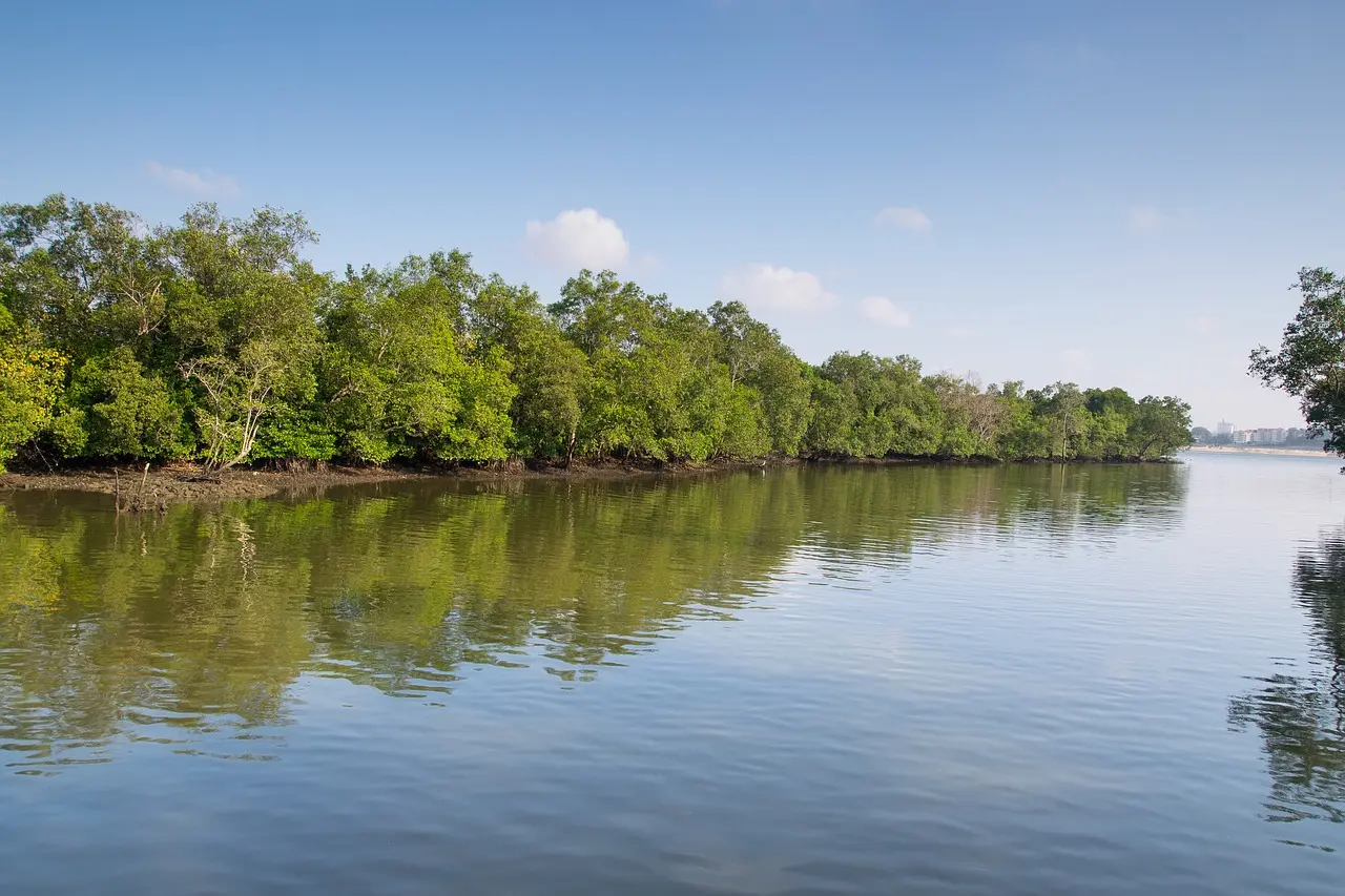
Singapore’s coastal plans bring tidal drainage, mangrove habitat, and infrastructure financing into a single adaptation decision.